The Las Vegas Grand Prix runs through the middle of the Strip, which means the roads you'd normally take to get around Las Vegas Boulevard are the same roads that shut down to build the circuit. Soft closures begin at 3pm each day of race weekend — Thursday through Saturday — with full closures following at 5pm, and they stay in place until well into the early hours the next morning. Driving is actively discouraged during this window, and it's not just advice: once full closures are in effect, a car genuinely cannot get you where you need to go on the Strip itself.
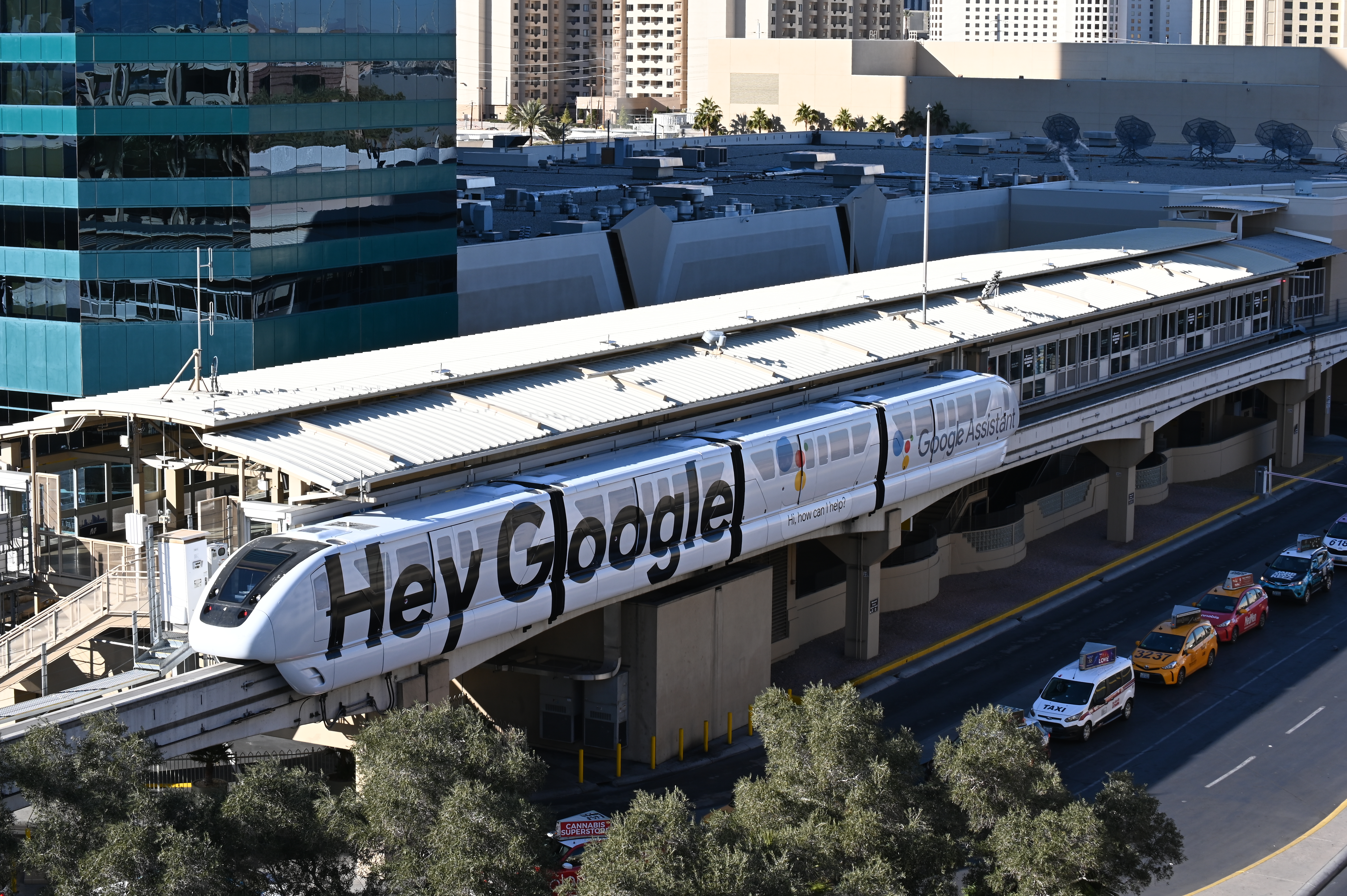
Walking, the Las Vegas Monorail, and rideshare are the three real options, in that order of reliability. The monorail runs 24 hours during race weekend, and the Flamingo/Caesars Palace and Horseshoe/Paris stations both drop you within a short walk of major circuit entry zones. If you're staying anywhere on the Strip itself, walking is often the most predictable choice — you already know your route, and it avoids the crowd bottlenecks that build up around monorail platforms and rideshare zones right after sessions end.
Rideshare and taxis do operate, but from designated pickup and drop-off points only, not curbside wherever you happen to be. The two official points are Virgin Hotels Las Vegas — closest to the start/finish straight and East Harmon Zone — and the Hughes Center, closest to the T-Mobile Zone at Sphere. Both get genuinely busy and slow immediately after a session finishes, when thousands of people are trying to leave at once.
The official Las Vegas Grand Prix app is worth downloading before you arrive, not once you're already lost. It shows real-time road openings and closures and can build a custom walking route from wherever you are to your specific ticketed zone — genuinely useful on a street circuit where "the road you walked in on" might be closed by the time you're heading back.
Why it's special
Most Grand Prix cities ask you to travel to a circuit outside town. Las Vegas closes the town around the circuit instead, and that inversion is what makes transit planning here a real part of the experience rather than a footnote. Get it right and you're stepping out of your hotel lobby onto the same street the cars are racing down an hour later. Get it wrong and you're stuck outside a closure line watching qualifying start without you. I'd tell anyone new to this race that the app and a walking-first mindset matter more here than at almost any other Grand Prix on the calendar — this isn't a circuit you drive to, it's one you're already standing inside the moment you leave your hotel.